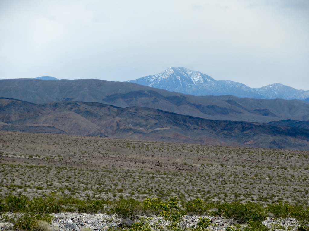
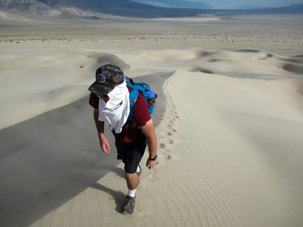
As we dragged our feet in the beating, desert heat, it appeared that we were making no progress at all. I turned back to see our parked truck fade out of sight from the naked eye, visible only through the zoom of my camera, yet our destination, the dunes of Panamint Valley, stood still at what had previously seemed like such an attainable distance.
The left side of my body baked to a beet red, the right side thanking my left side for taking one for the team. The late afternoon sun sunk towards the mountains to the west.
After what felt like the longest three-mile hike of my life, we arrived at the Panamint Dunes, an accomplishment that felt much sweeter after the struggle of climbing the deceivingly steep and immense valley.
Sitting atop of the dunes, hearing nothing but the roar of sand with no other human in sight, I thought to myself, “This is why I came to Death Valley after all, is it not?”
• • •
I had had a burning desire to explore Death Valley ever since I chose it as my final project for an interesting class that I took in college called “Geology of National Parks.” Its impeccably preserved rocks, mountains, and sediment tell a colorful story of volcanism, orogeny, and ancient environments that sculpted the land.
I had been to Death Valley before. My father took me there with my siblings when I was young, too young to appreciate the geologic spectacle that lay before me.
My only memories of that trip are lots of ants hills and my brother burning himself on the heater of our rented RV. I must have been something like seven years old.
As I turned the calendar over to 2018, I decided that the time had come to return to Death Valley. When I don’t get out into nature for a bit, whether backpacking or car camping, I tend to get antsy, anxious for another dose. Once I get that dose, I feel satisfied for the time-being, and that usually will last a month or two or three until it wears off.
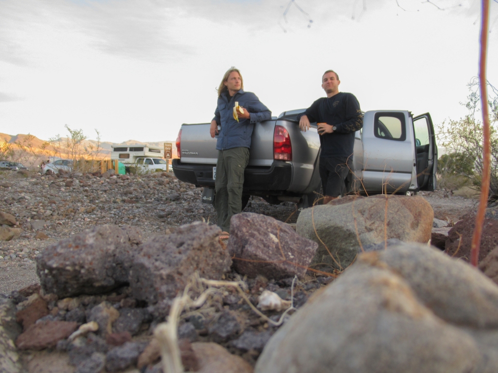
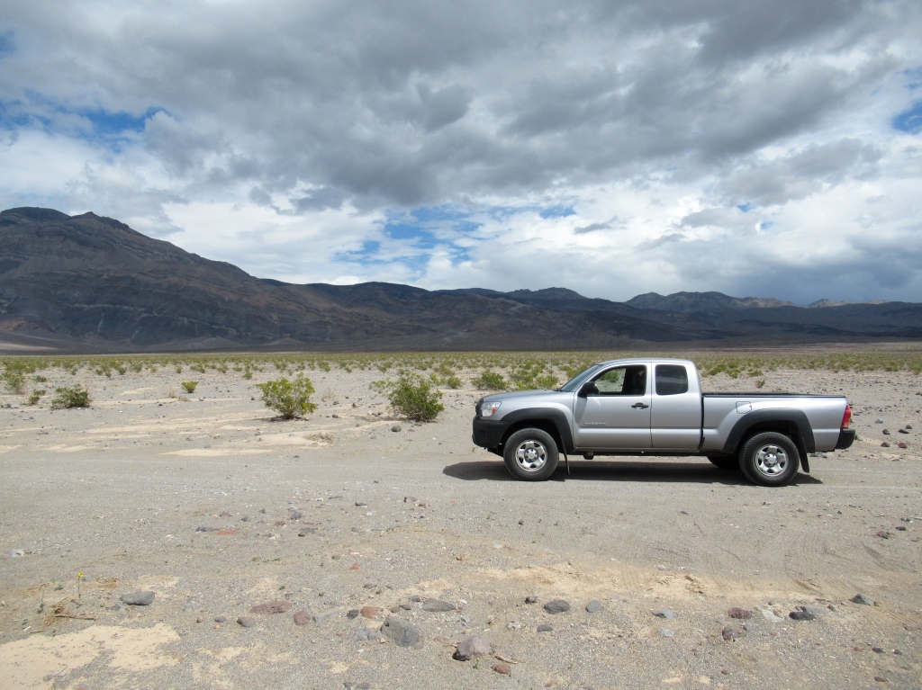
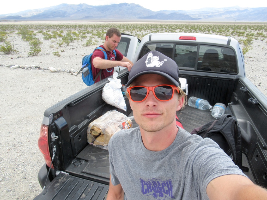
Well, my last backpacking trip was in November of 2017, so I was itching to get back out there. I took a Friday off work, recruited my friend Pat (whose 4 wheel drive truck ended up becoming a crucial piece of the trip), and headed north from San Diego on a Thursday night to spend the weekend in the largest national park in the lower 48.
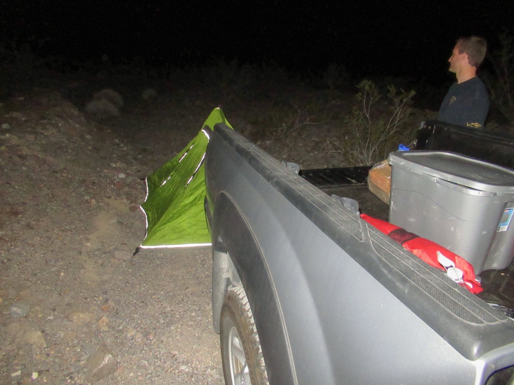
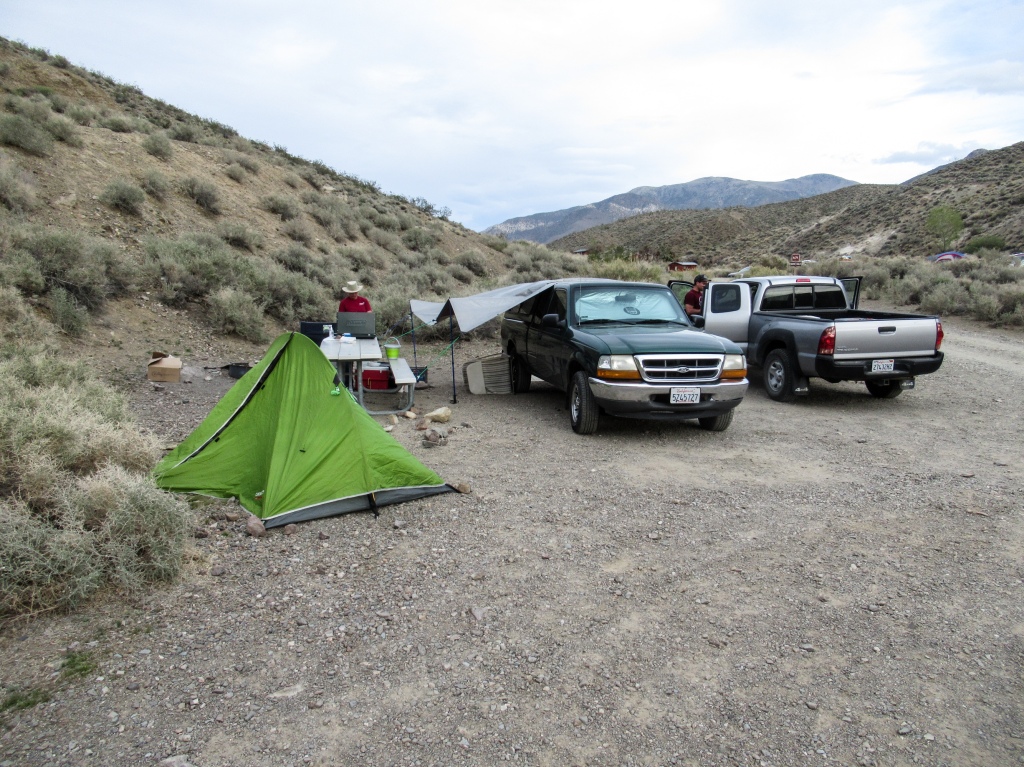
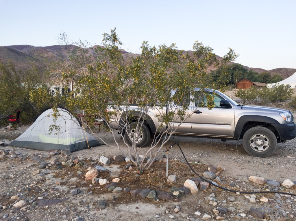
The five and a half hour trip to Death Valley seemed to fly by, probably due to my intermittent napping — the luxury of riding shotgun. We pulled into the camp that we intended to stay at, Emigrant camp, being those guys who come in at midnight looking for a campsite with their headlights bearing down on everyone’s tents. Sorry guys.
After confirming that not one damn campsite was available, we called an audible and threw up a tent on the desert gravel not 20 yards from the site. We figured we would be awake and out of there before anyone would be around to notice or care.
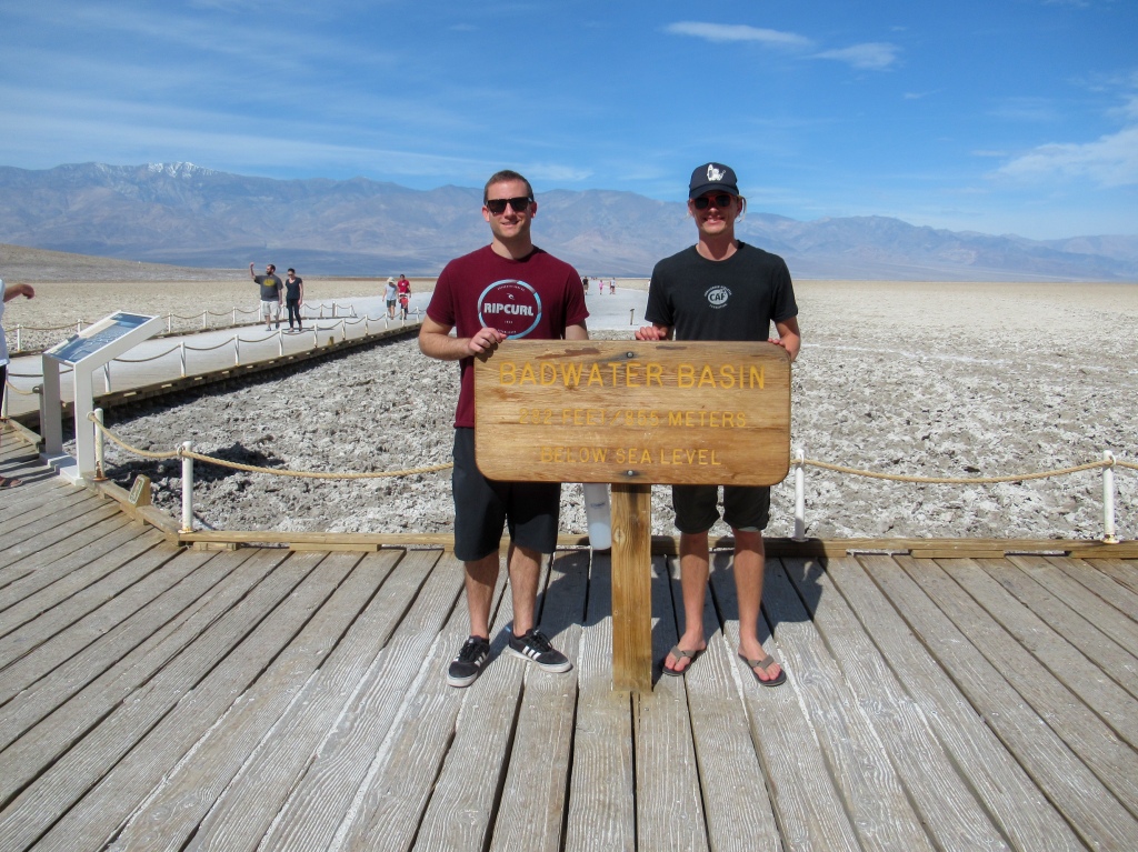
A football field below sea level
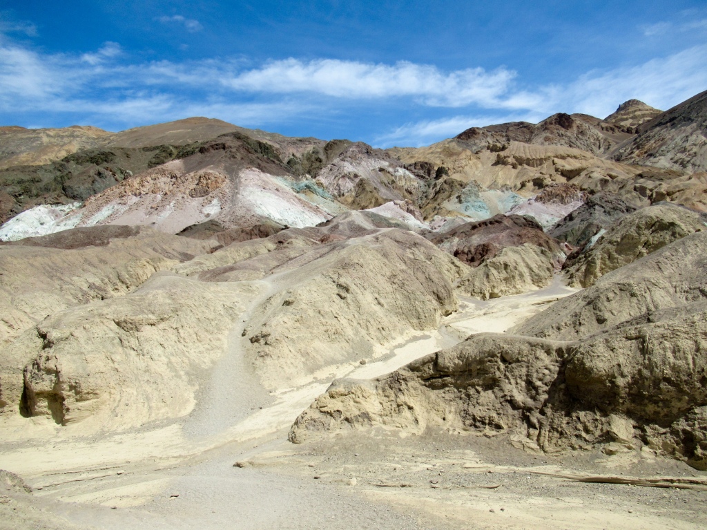
On our first day in Death Valley, our goal was to jump around the park and visit all the touristy stuff that makes the park famous. We knew these were the tourist hubs and not the places to find solitude, but there’s a reason everyone visits the main sites like Badwater Basin and Artists drive — they are pretty damn amazing (and easy to get to in your rental car).
We woke up with the rising sun around 6am and decided it was time to head out before any park ranger could have any sly ideas about handing out tickets for our questionable camping location. We broke down camp, ate a banana, and set out to Badwater Basin, the lowest point on the North American continent.
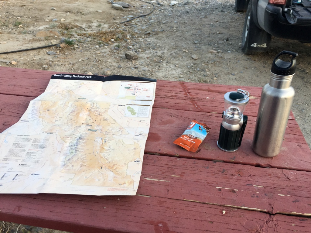
We drove about an hour into Death Valley proper (a particular valley within Death Valley National Park), making a few pitstops along the way. We couldn’t resist scaling the easily accessible Mesquite Dunes before stopping at the ranger station to consult about conditions at the park’s highest peak (stay tuned), all while singing along to a limited soundtrack on repeat that Pat had downloaded on his phone due to the absence of cell service.
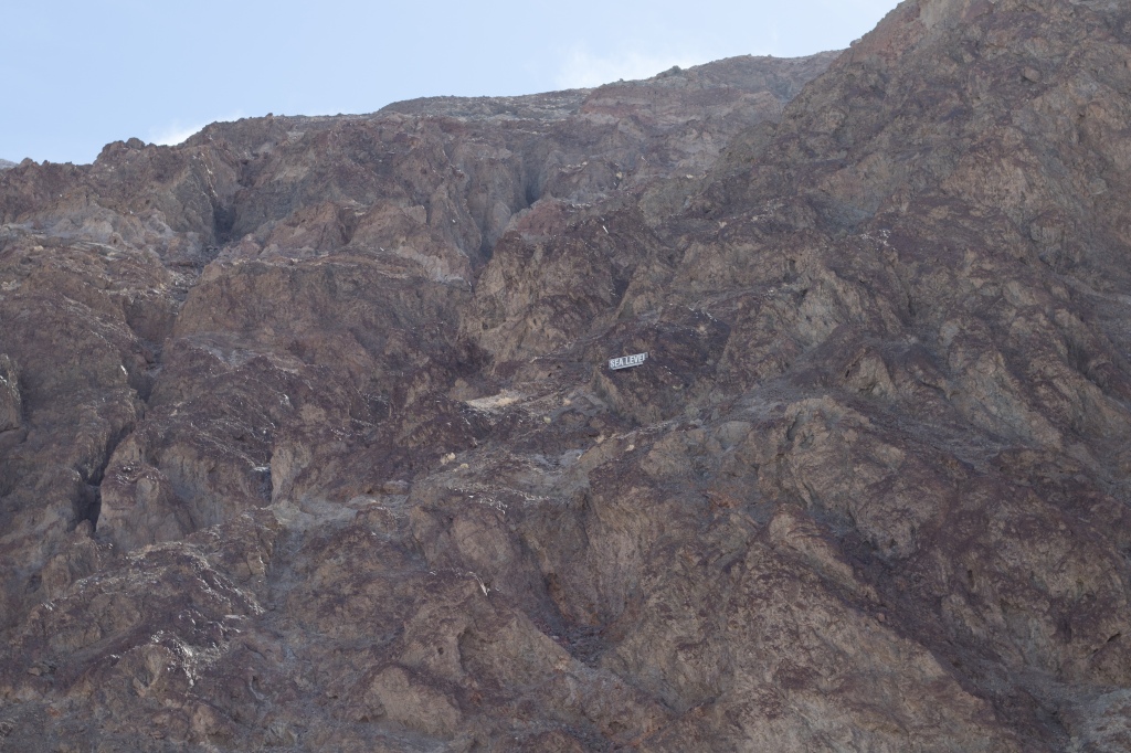
We arrived at Badwater Basin by mid-morning. Here in the valley floor the springtime sun already had begun to flex its muscles, with temperatures rising into the 90’s.
As you pull into the parking lot and look up towards the mountains that tower above the valley, you can see a marker perched up on the scraggly cliff that reads ‘SEA LEVEL.’
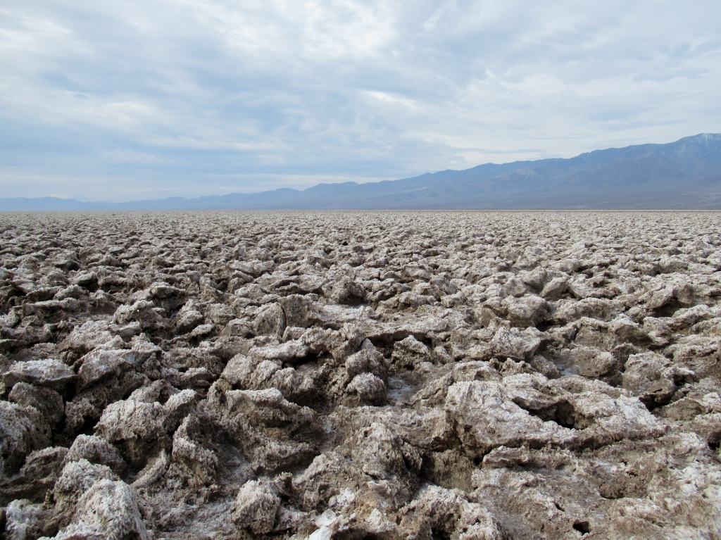
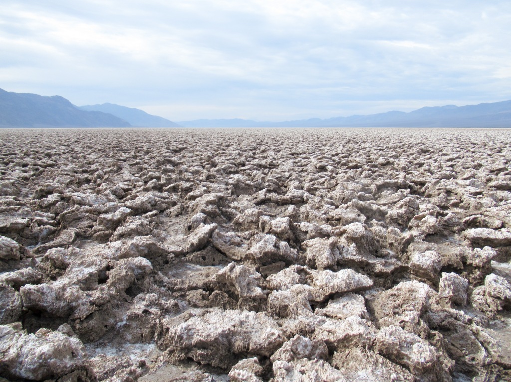
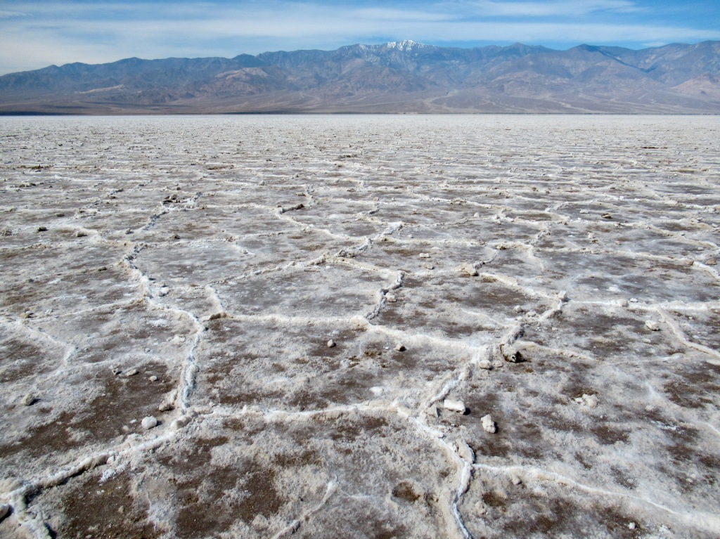
Due to tectonic forces, the valley floor is sinking between the two parallel mountain ranges that encompass it. The valley sits at roughly 282 feet, nearly a full football field (not fútbol), below sea level, making it the lowest point in North America.
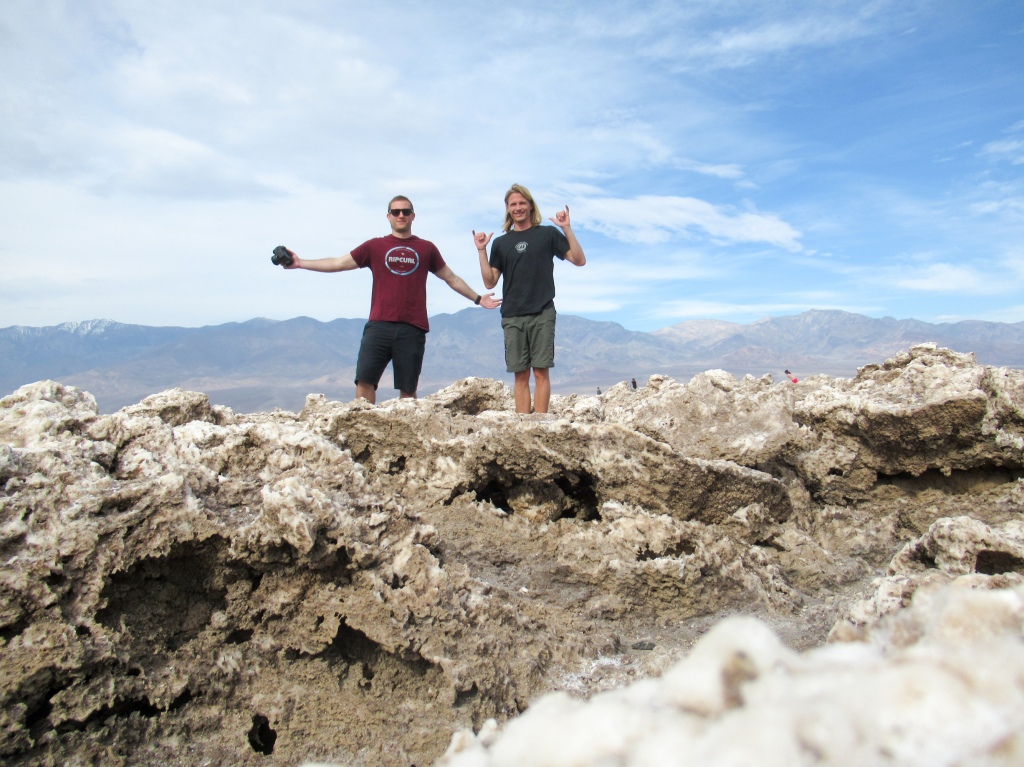
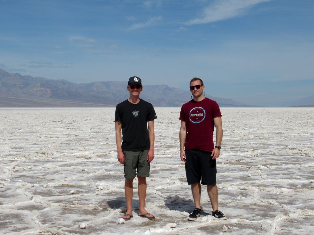
Through processes that include ancient lakes, flooding, evaporation, and hydrothermal activity, the end result is salt that is excreted through the surface in geometric, hexagonal shapes. And the salt, which immensely stretches out for miles across the valley floor, is literally table salt. You know, NaCl? It would go unnoticed if garnished on your brussel sprouts or french fries.
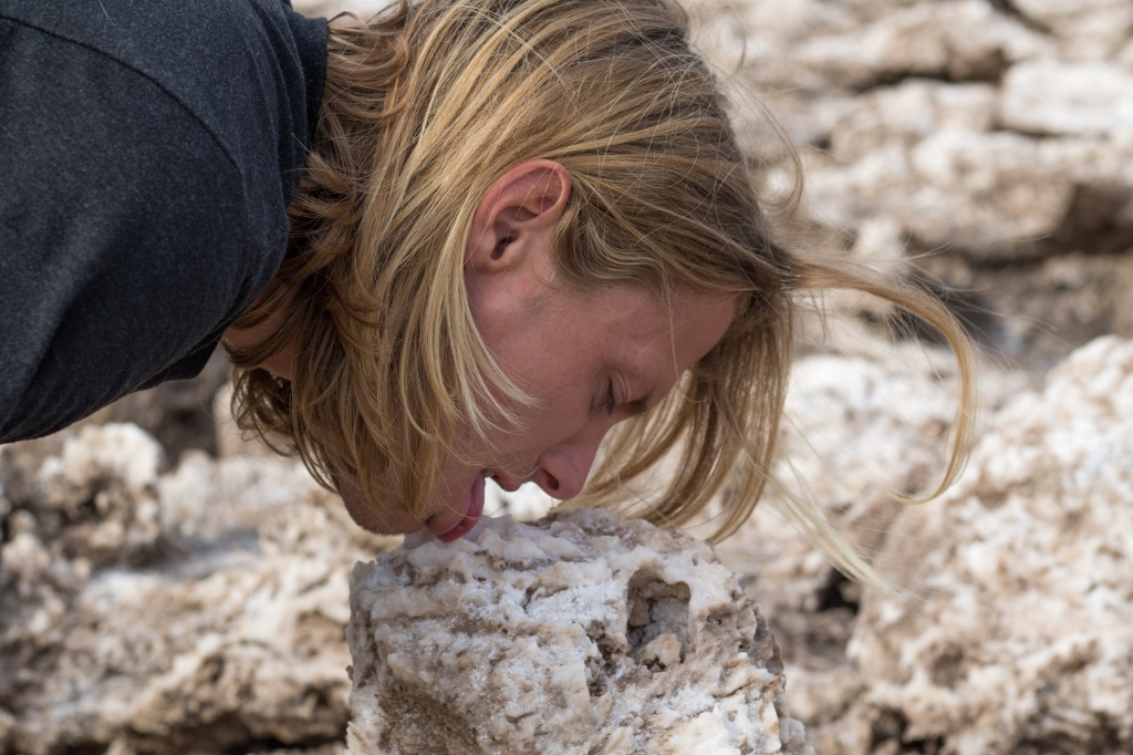
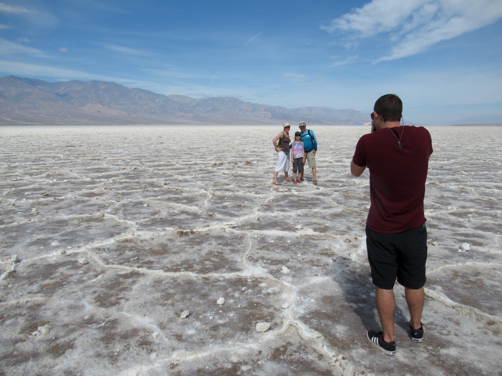
We walked out about a mile or two into the salt flats to take it all in and give the fresh salt a taste. I thought it tasted excellent, however, Pat begged to differ.
Up to the mountains to scale Telescope Wildrose Peak
After a day spent exploring the wonders of the valley floor, we were ready to head up to the mountains of Death Valley to find a more temperate climate that was suited for hiking.
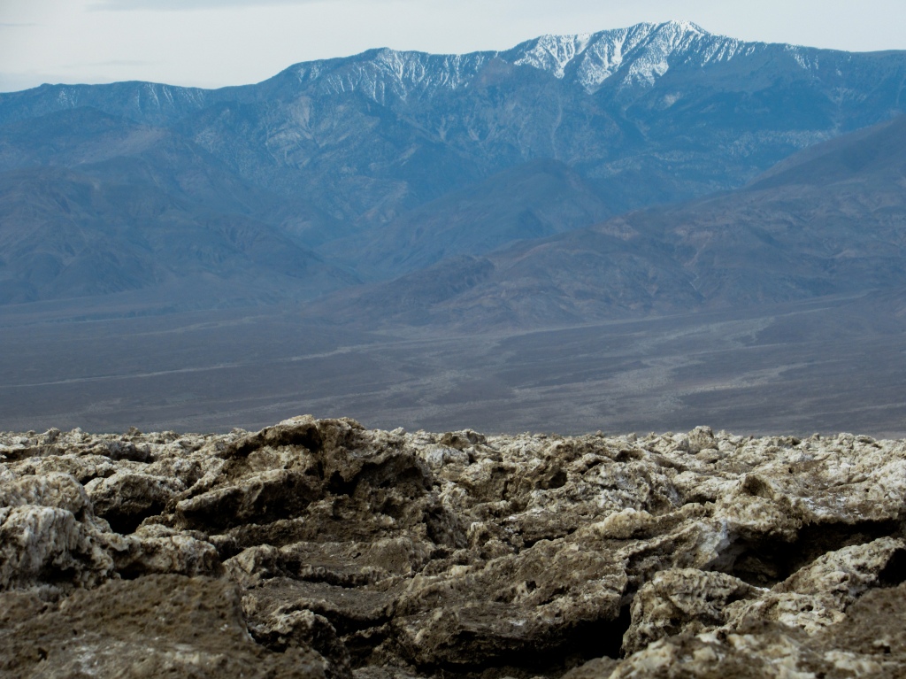
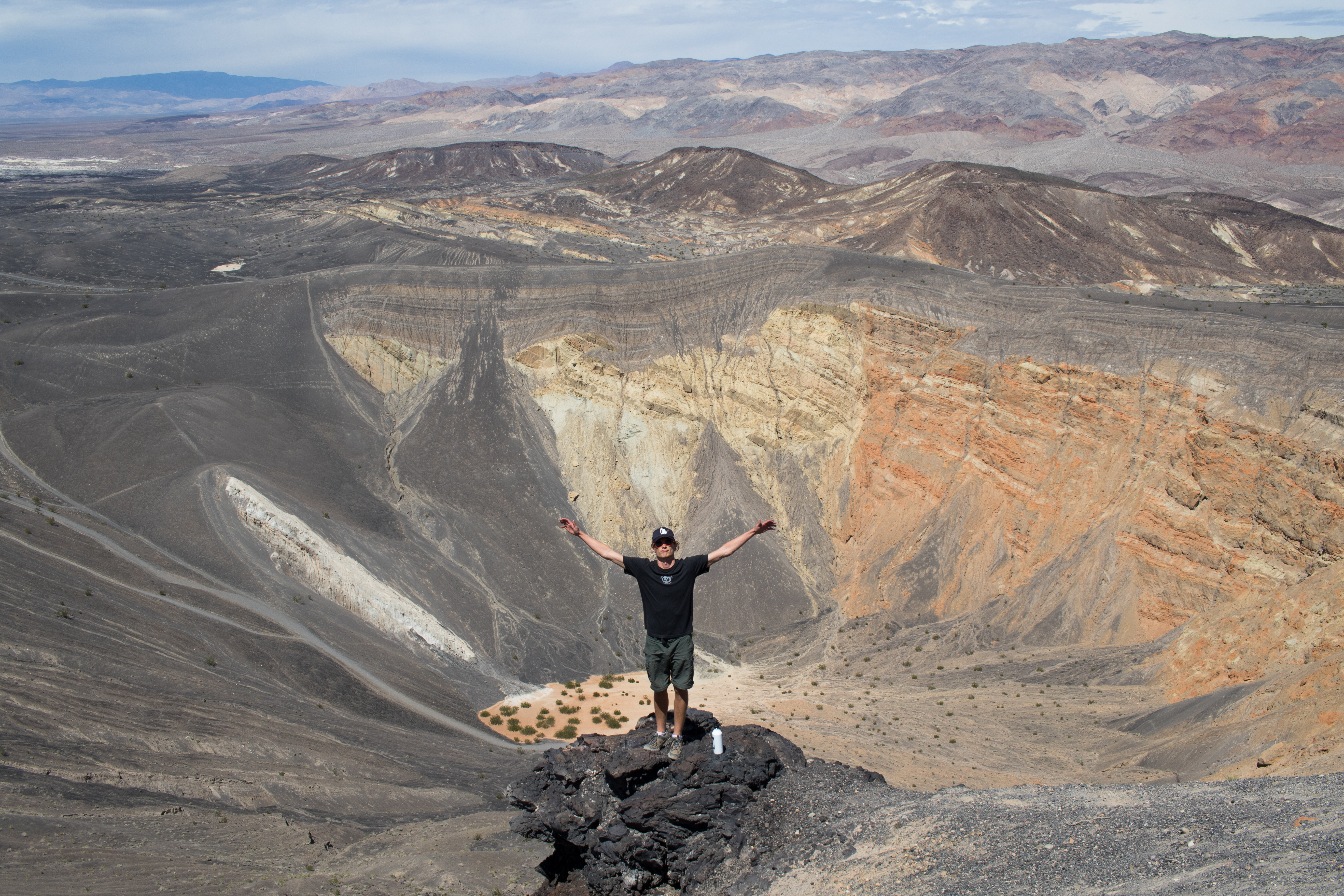
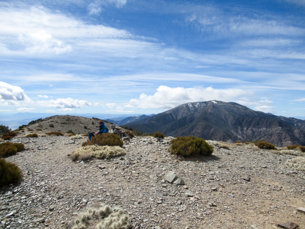
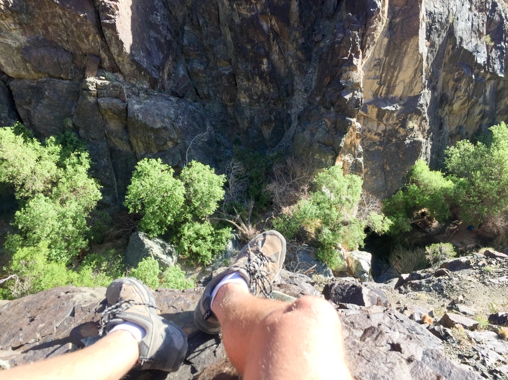
I had my heart set on scaling Telescope Peak — an 11,000-foot behemoth that towers above Death Valley. At only sixteen miles away from Badwater Basin as the bird flies, it makes for quite a contrast of elevations in such a short distance. I had done my research and figured that while it would be challenging, I could make it to the top. It’s a 14-mile total hike with about 3,000 feet of elevation gain. I’ve done Half Dome twice, which is a longer hike with more elevation gain, so I figured this was a very attainable goal.
From the floor of Death Valley I could see that there was still a good amount of snow lingering on Telescope Peak, causing me to second guess my plan to hike it. I approached the park rangers about the prospects of hiking to the top in the snow, already knowing what they were going to tell me, but clinging to a glimmer of hope that I was wrong.
They informed me that the final third of the hike was still covered in ice and snow (mostly ice) and that they didn’t recommend attempting the hike without some type of traction, such as crampons, which are metal spikes that attach to your boots to give you traction in ice. However, they also mentioned that a party of experienced hikers that had done the hike before summited the peak just the day before with no snow equipment at all. Aha! That was all I needed to hear to know that I was going to get my ass on top of that mountain.
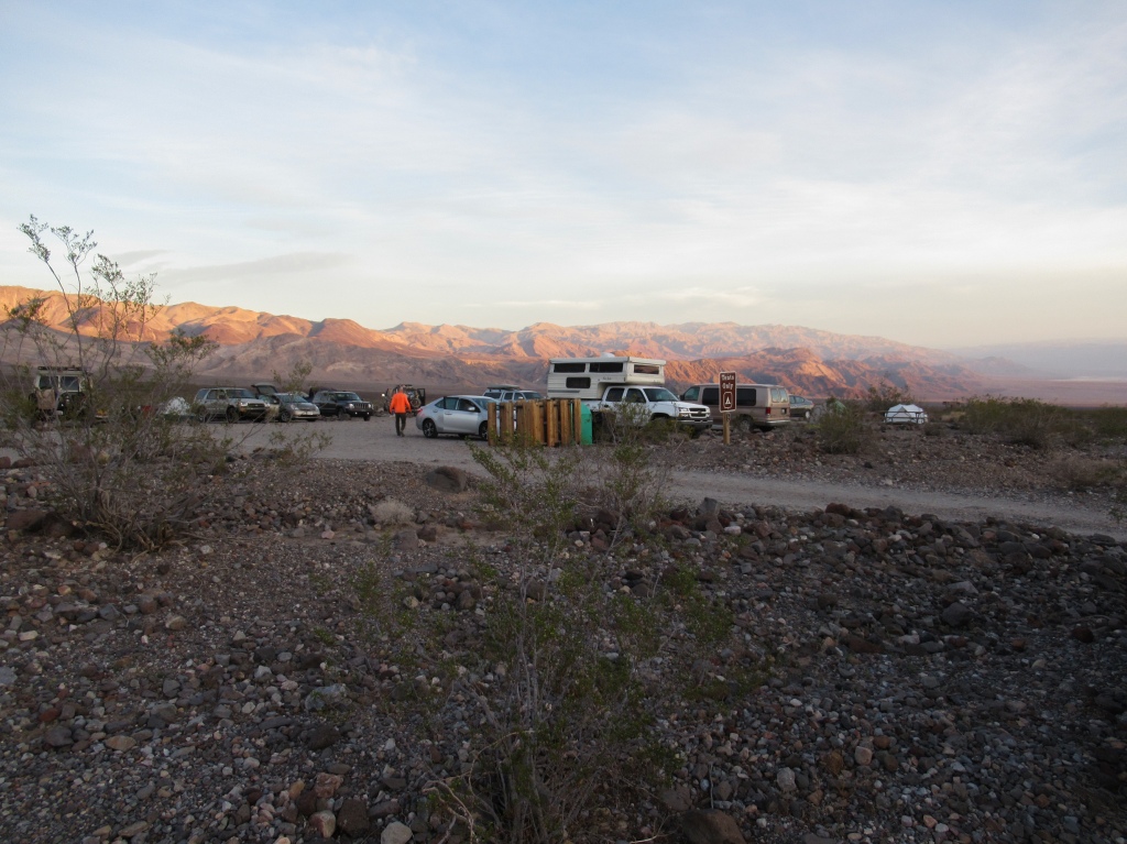
Pat and I retraced our route out of the valley to the backside of the Panamint Range where one can access Telescope Peak. The plan was to camp at Mahogany Flat, a campsite that doubles as the trailhead for the peak.
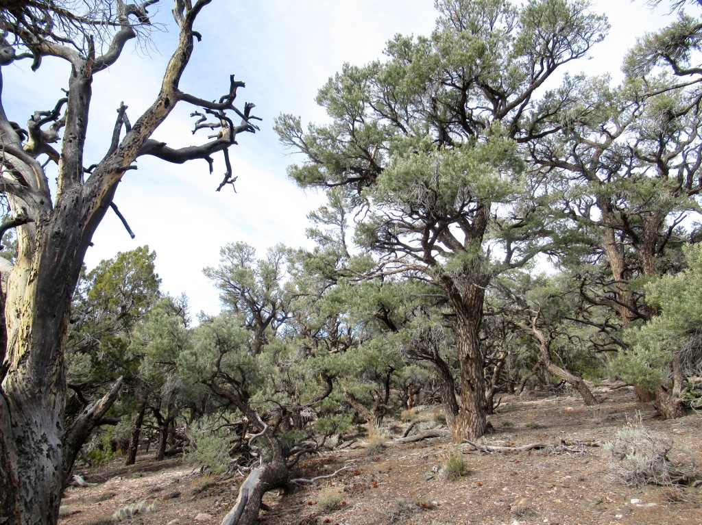
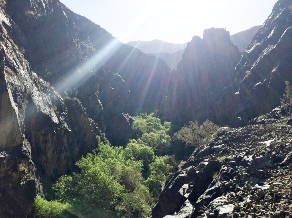
We ascended the mountains into a whole different environment of Death Valley. The dry desert valleys gave way to vegetation, high plains, and even forests. The uncomfortable heat subsided to a pleasant, spring warmth.
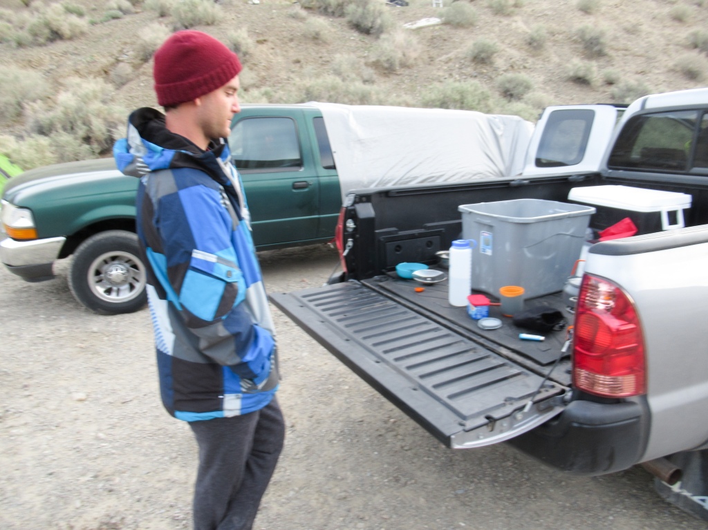
I realized how crucial it was to have a four wheel drive if you want to access all the corners of the park. I would have been quite restricted in my little Nissan. We rose in the mountains on a dirt road that was bumpy enough to throw our items around the bed in the back.
Just one and a half miles from our destination we came across a locked gate that indicated that the road was closed. What the hell? None of the park rangers mentioned anything about this to us in our conversations about camping up there. There were a few other campers stuck at the blockade that were equally as puzzled.
Assessing the situation, with the extra three miles that this would add to the hike, sore hips that had been bothering Pat, and our non-existent experience hiking snowy peaks, we decided that this was a sign that Telescope Peak was to be left for another day. The stars just hadn’t aligned.
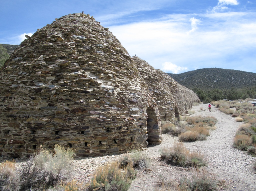
Forced to retreat down the valley ten or so miles to the closest campsite, Wildrose Camp, we huddled to rethink our plans.
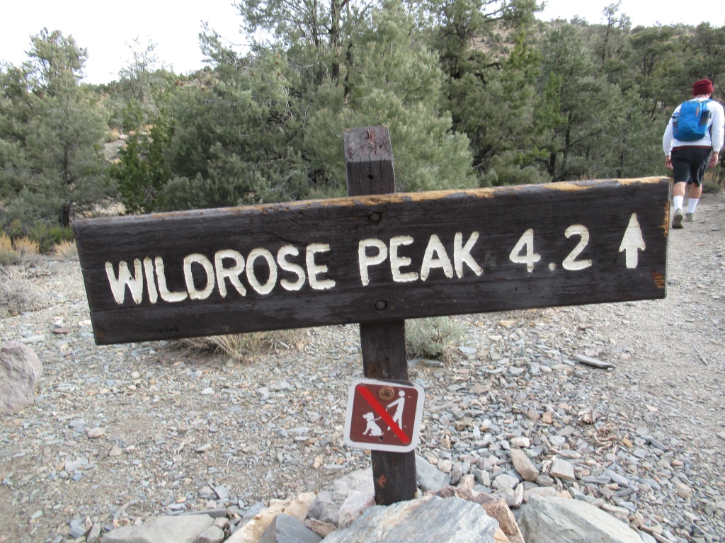
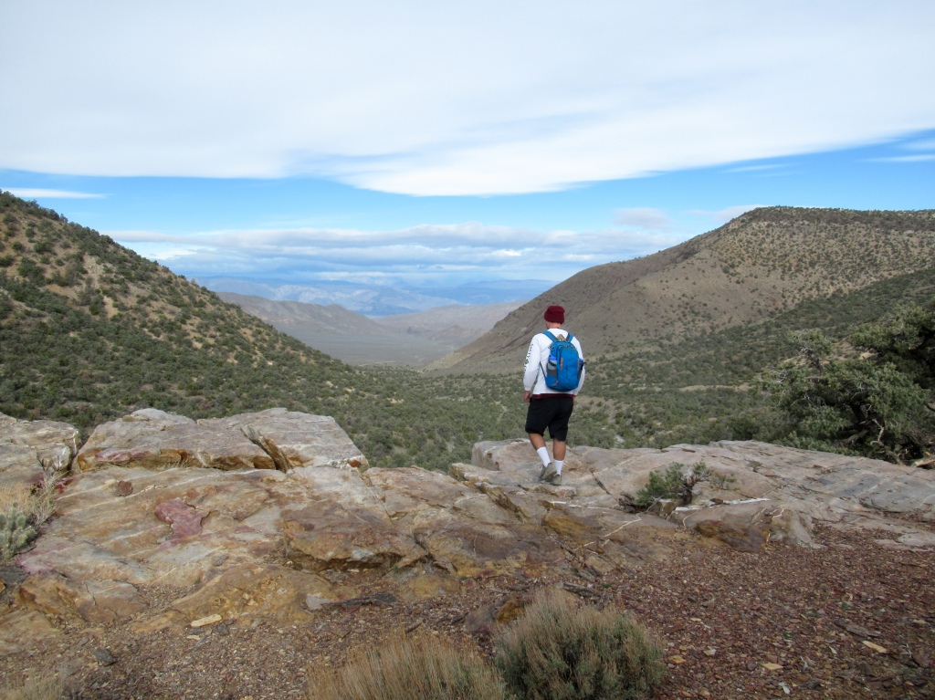
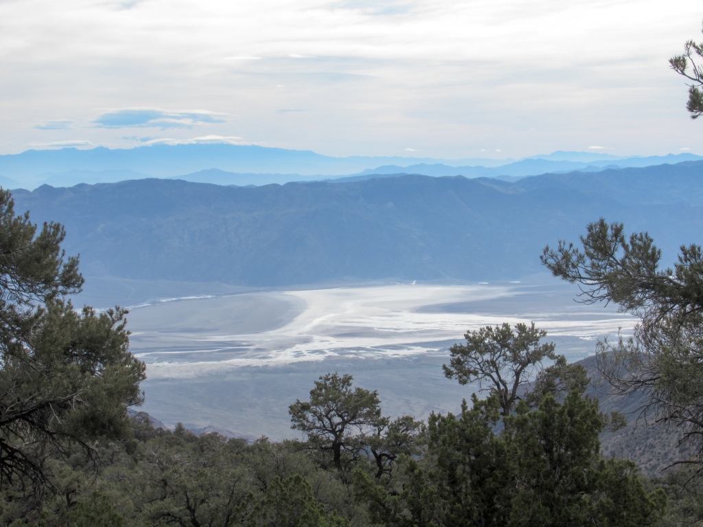
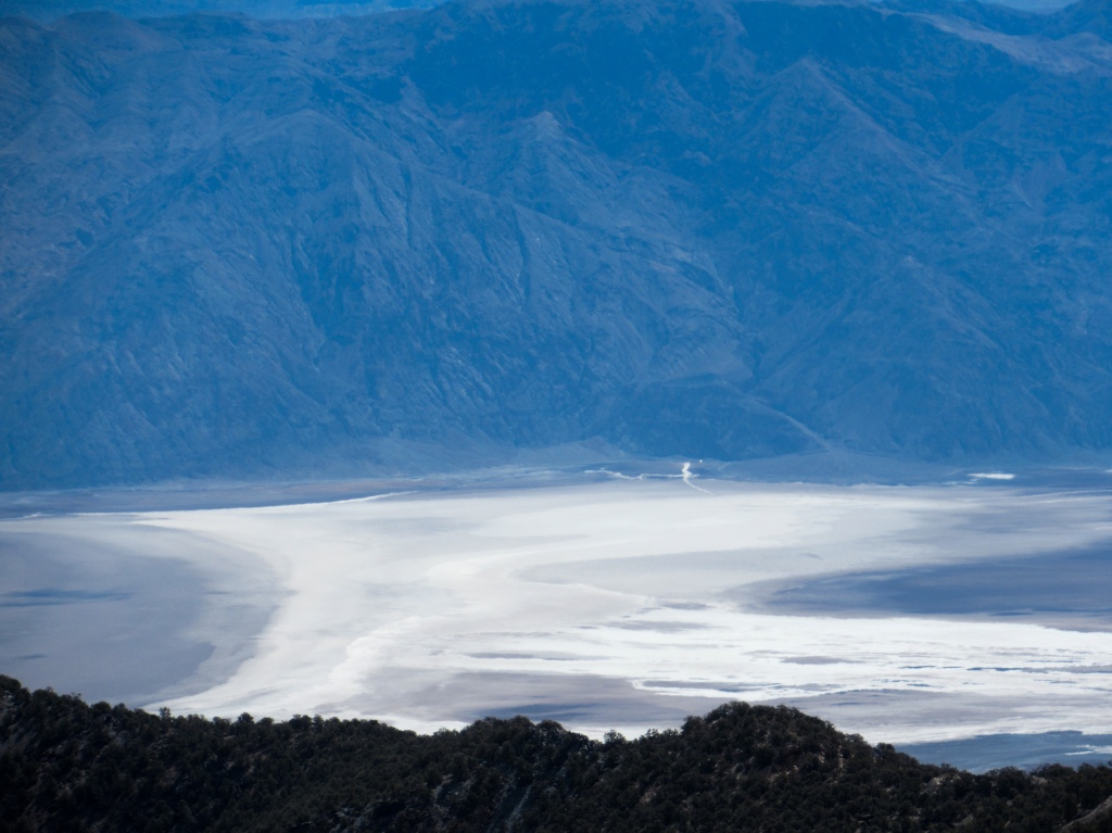
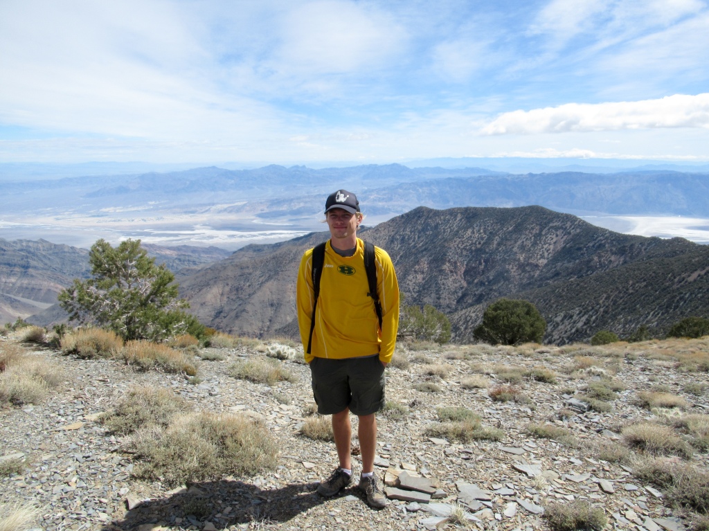
We decided that we would hike Wildrose peak, a much shorter, nine-mile hike that sits 2,000 feet below Telescope Peak, while still providing the breathtaking views of both Death Valley and Panamint Valley on either side of the mountain range.
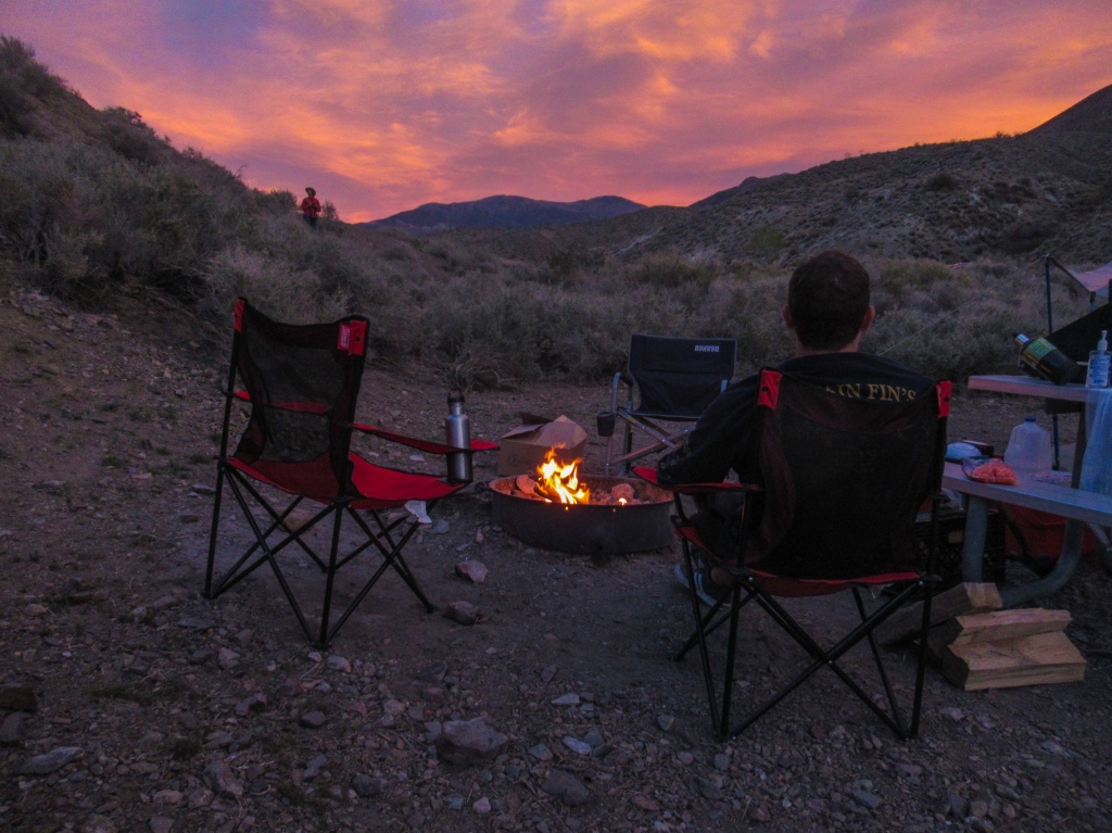
We pulled into Wildrose camp, this time at a respectable hour, and after discovering that all the sites were taken, we were invited by a nice, older woman to share a site with her. Her name was Nancy. Nancy is a respiratory therapist (still don’t really know what that entails) from Oakhurst, California, and she has been visiting Death Valley every spring for the past six years.
Grateful for sharing her site with us, Pat and I took the honors of making the campfire for the group. We chatted through the sunset until bedtime, sharing travel stories and getting tips on where to go in the park all while Nancy made frequent trips back to her pickup truck to refill her cup of watered down whiskey. She offered us some of her cocktails, but I knew that she was just trying to be polite. Nancy intended to down every last drop of that bottle.
Rain, heat, sweat, and sand…lots of sand…in Panamint Valley
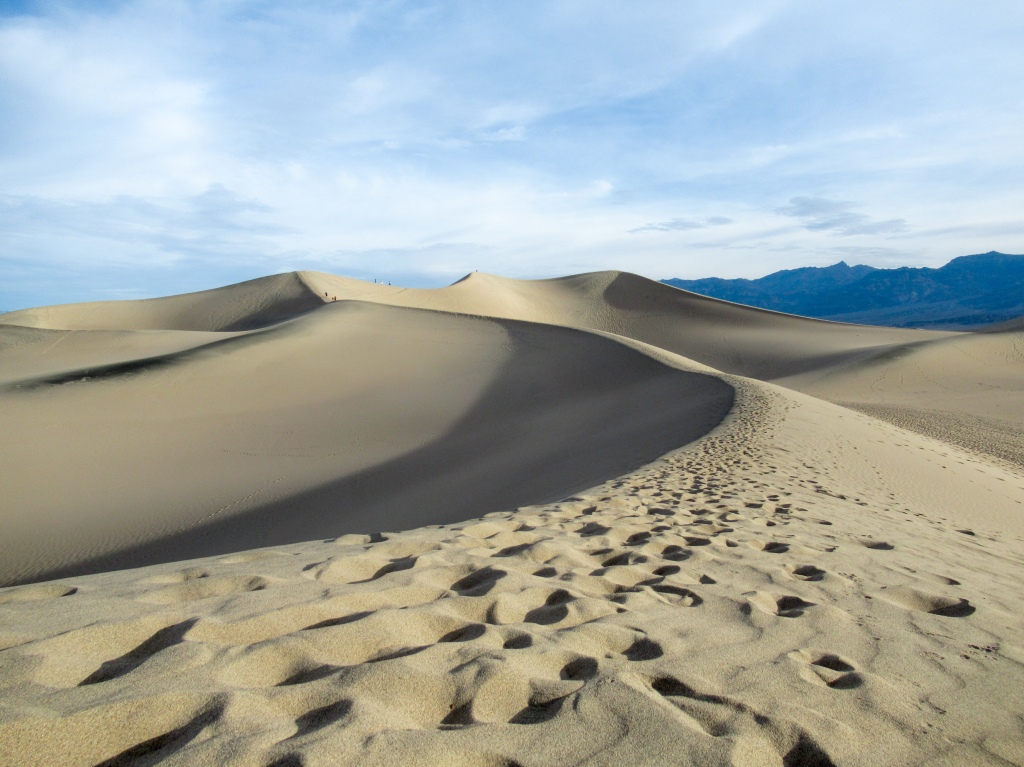
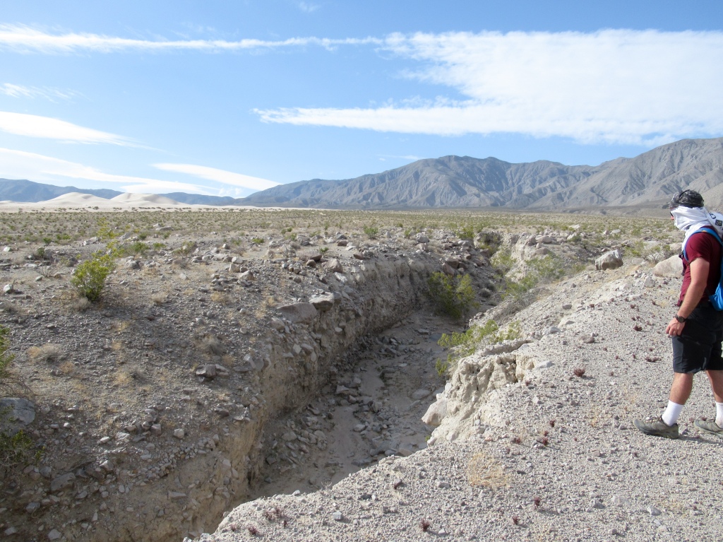
After a successful morning of summiting Wildrose Peak, we figured that we had enough time to squeeze in another hike that had been on my mind, the Panamint Dunes.
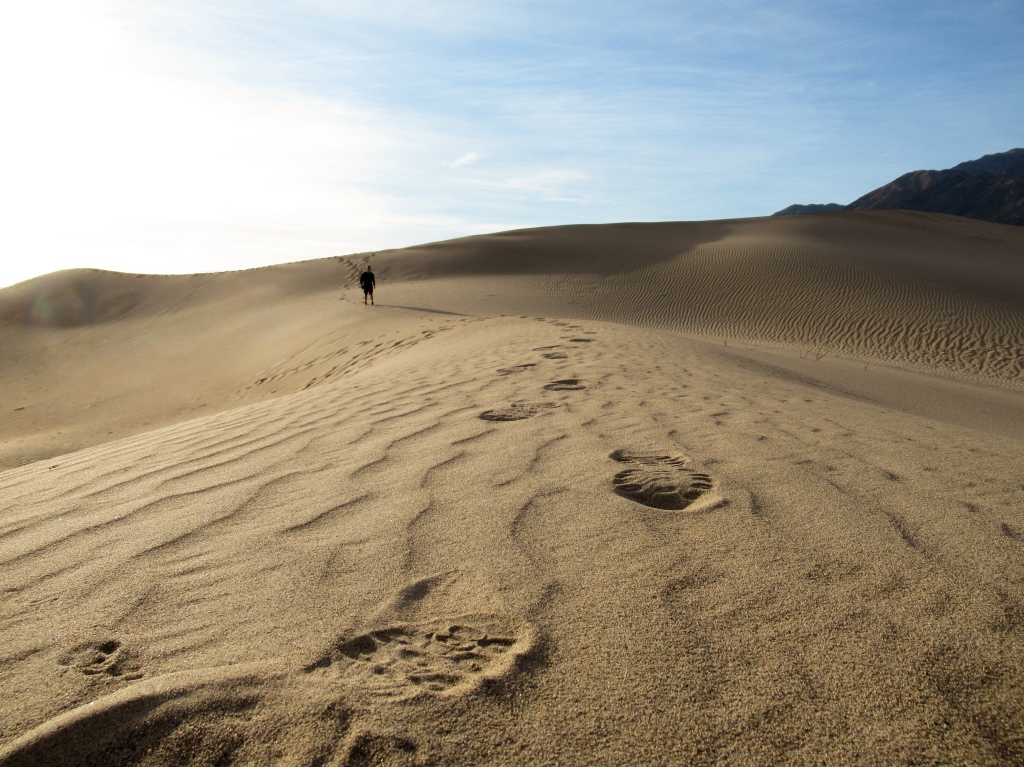
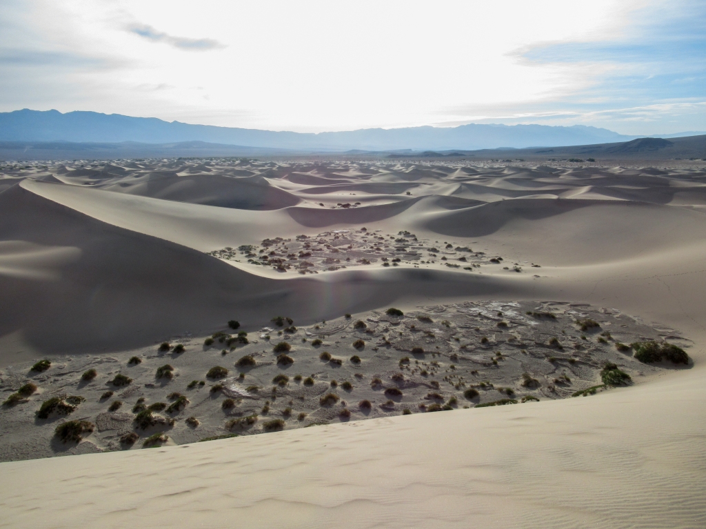
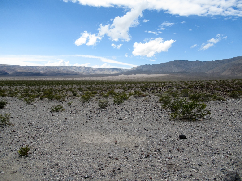
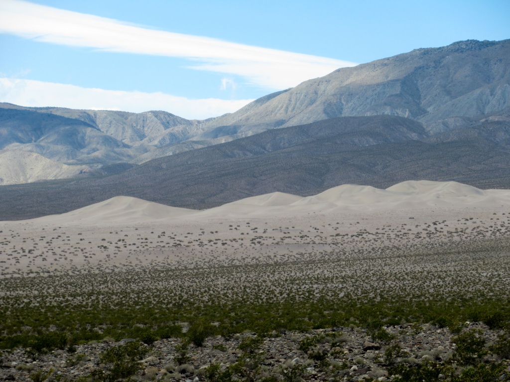
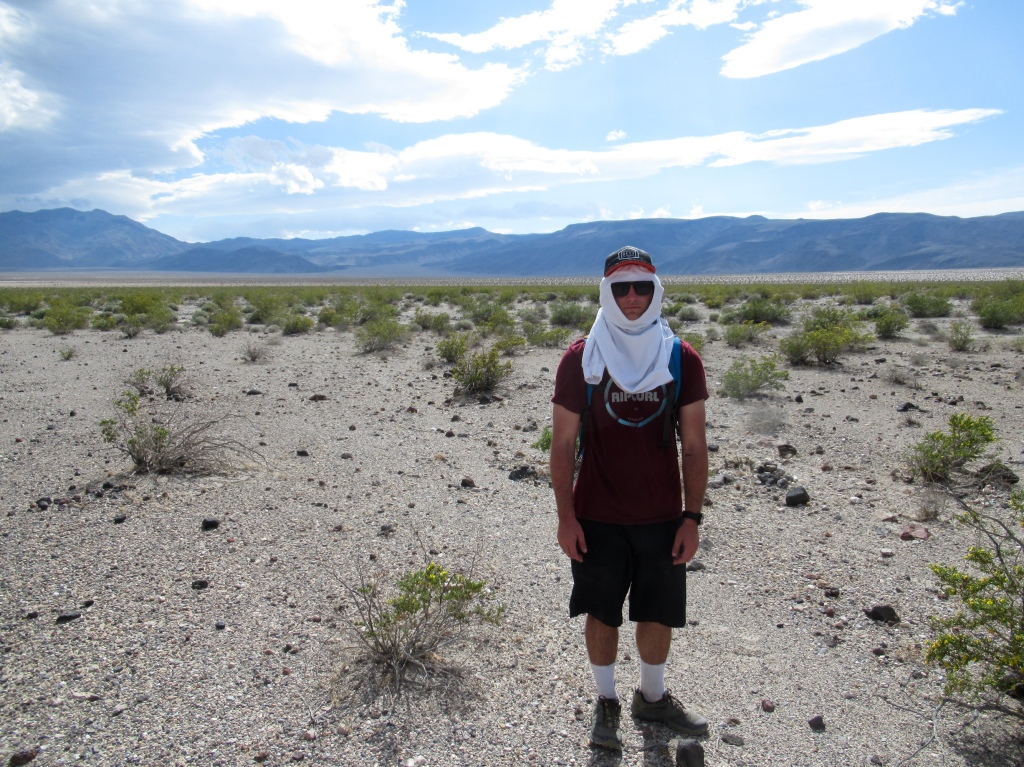
While not the largest or tallest dunes of Death Valley National Park, they are the most remote and as a result the most pristine, like the ones you see in the movies. Arriving at these dunes requires about five miles of offroad driving and then three miles of torturous hiking up the end of the huge Panamint Valley with no shade whatsoever to be spoken of.
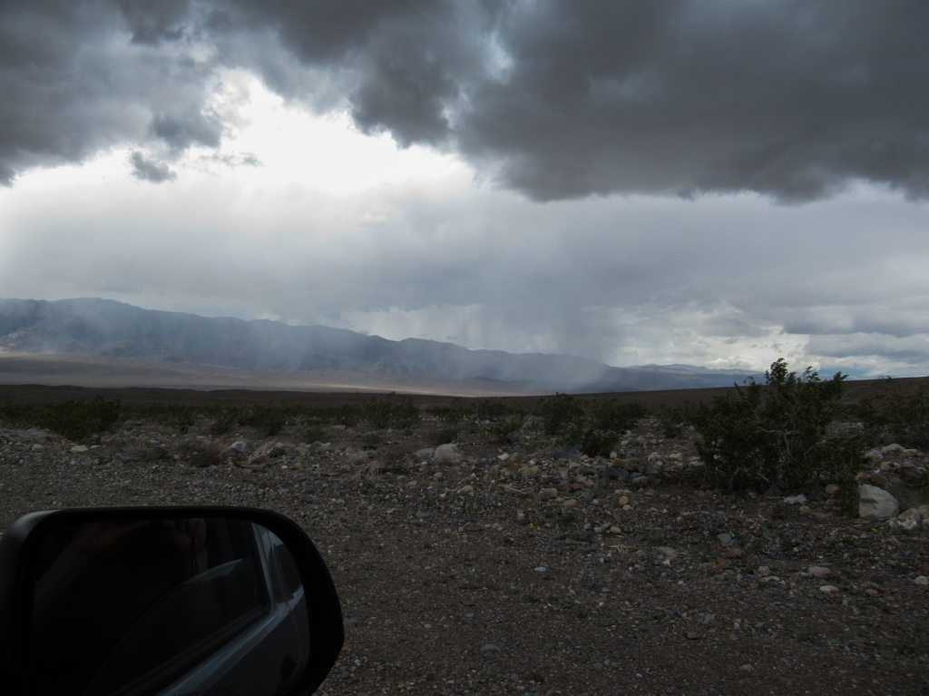
We plunged out of the mountains into the floor of Panamint Valley to climb the dunes. Luck was on our side, as an isolated rainstorm tore across the valley and headed straight up into the mountains that we had just been hiking in, another good reason for not attempting Telescope Peak.
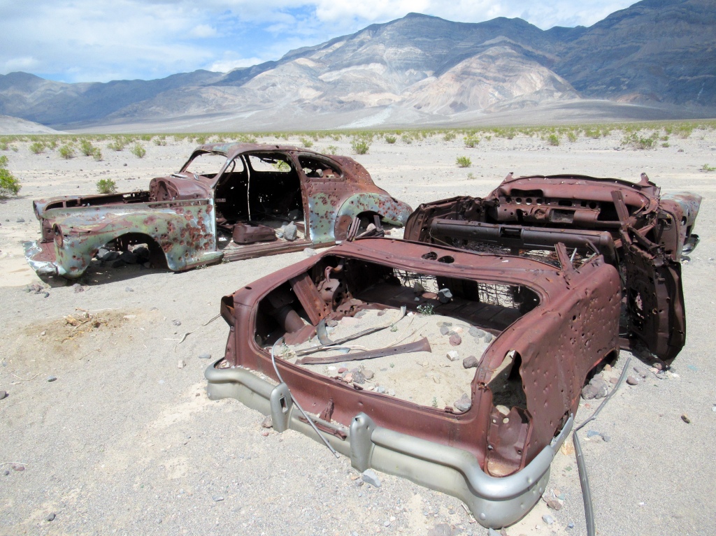
As we started the offroad trek across the valley towards the dunes, we stopped and got out of the car to check out some old cars that had been left out in the desert, both littered with bullet holes.
It was awfully hot as we exited the protection of the air-conditioned car. So hot in fact, that we started to doubt how smart it would be to drag our fatigued bodies that had already scaled a 9,000-foot peak in the morning up to the dunes.
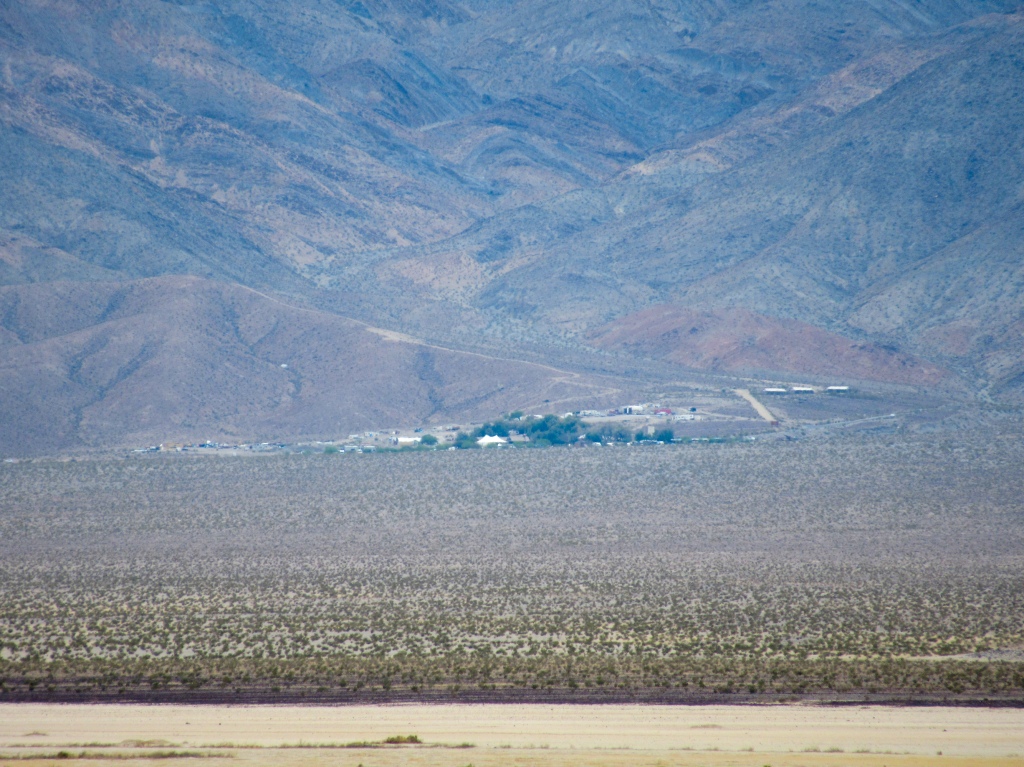
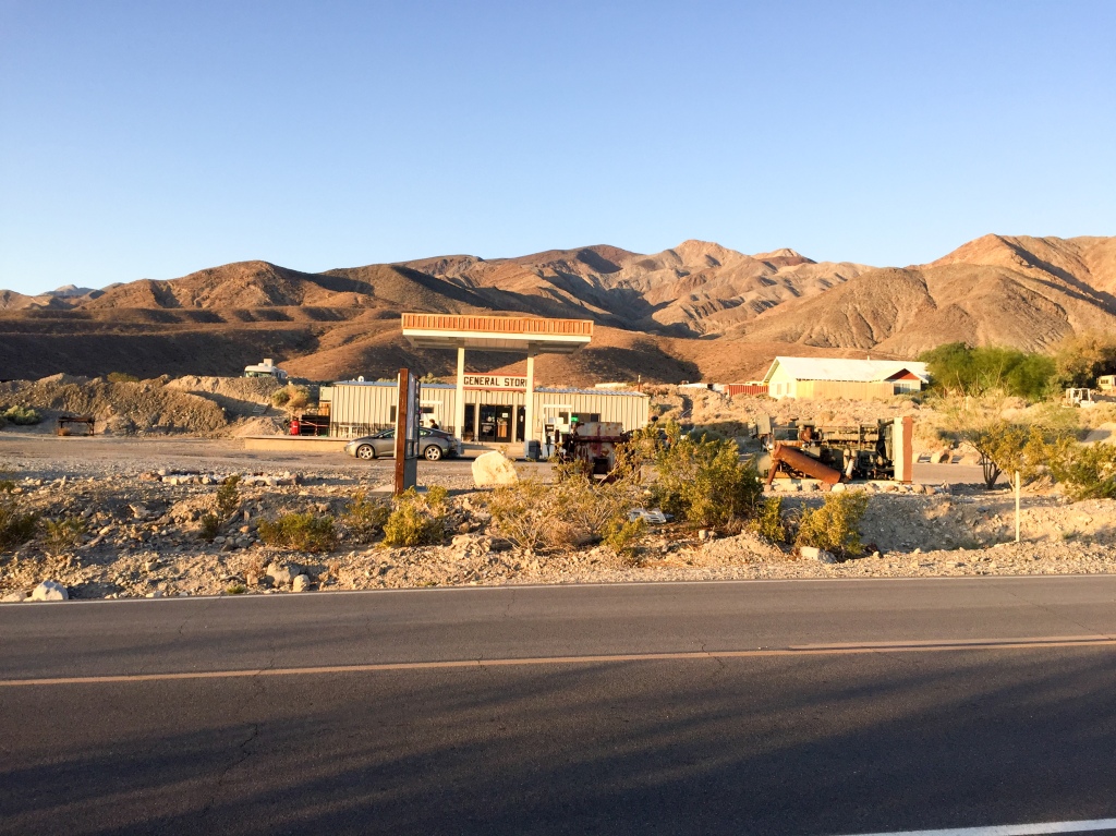
We weighed the options and decided that we would head to the nearby “town” of Panamint Springs to wait out the heat of the day, refuel the truck, and stock up on firewood for the night.
Panamint Springs, sitting on the western border of the national park, consists of a gas station, a restaurant, a slum-like collection of trailers and RVs (hope I don’t offend anyone), and then a large campsite for RVs and tents. I jumped on the opportunity to bathe and took a paper towel shower in the gas station bathroom. I didn’t exactly feel like I had just come back from a weekend spa retreat, but I got enough dirt, sunblock, and sweat off of me to feel relatively refreshed.
After an hour break, we decided it was time to head back out to the dunes. We hit the rough, dirt road for the second time and parked our vehicle at the end of the road.
As I mentioned in the intro to this story, it was still pretty damn hot in the late afternoon.
We trudged and trudged across the valley with no trail to follow. The hike definitely gave us respect for the immense scale of everything in Death Valley. With a valley so long and flat, it’s easy to forget how big the dunes and mountains are.
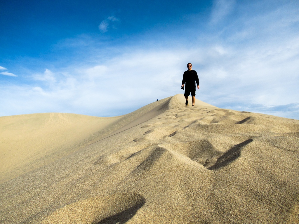
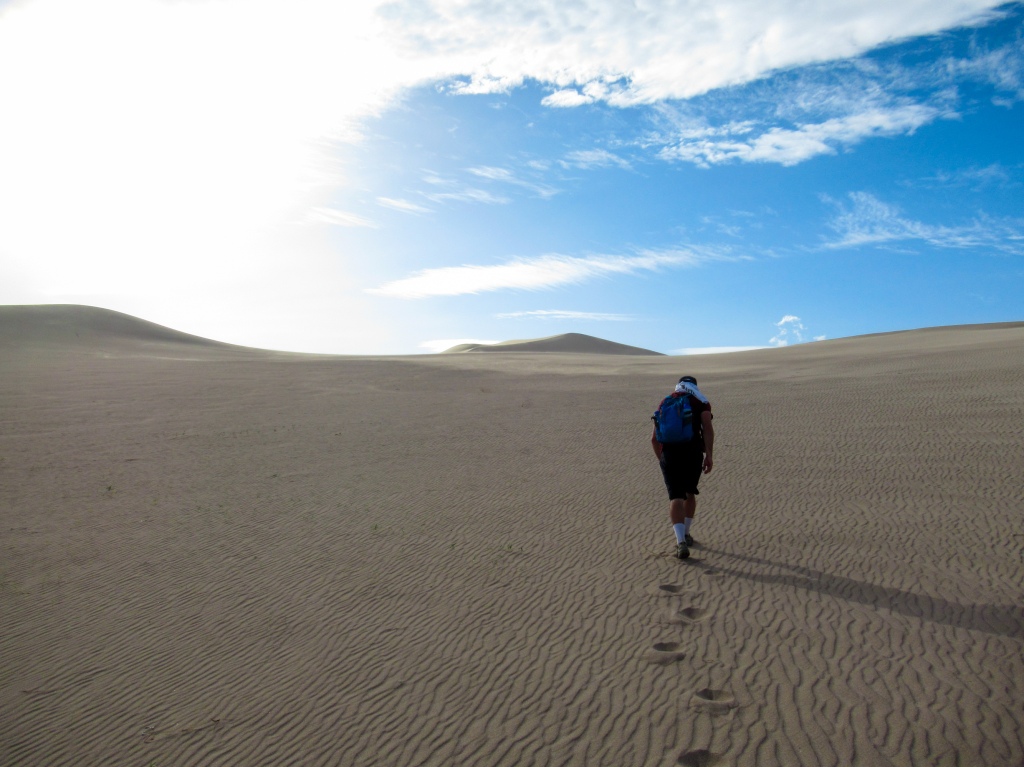
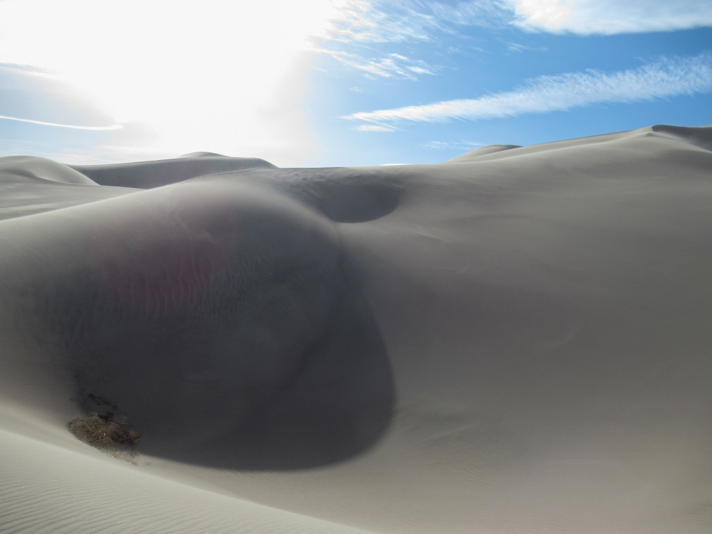
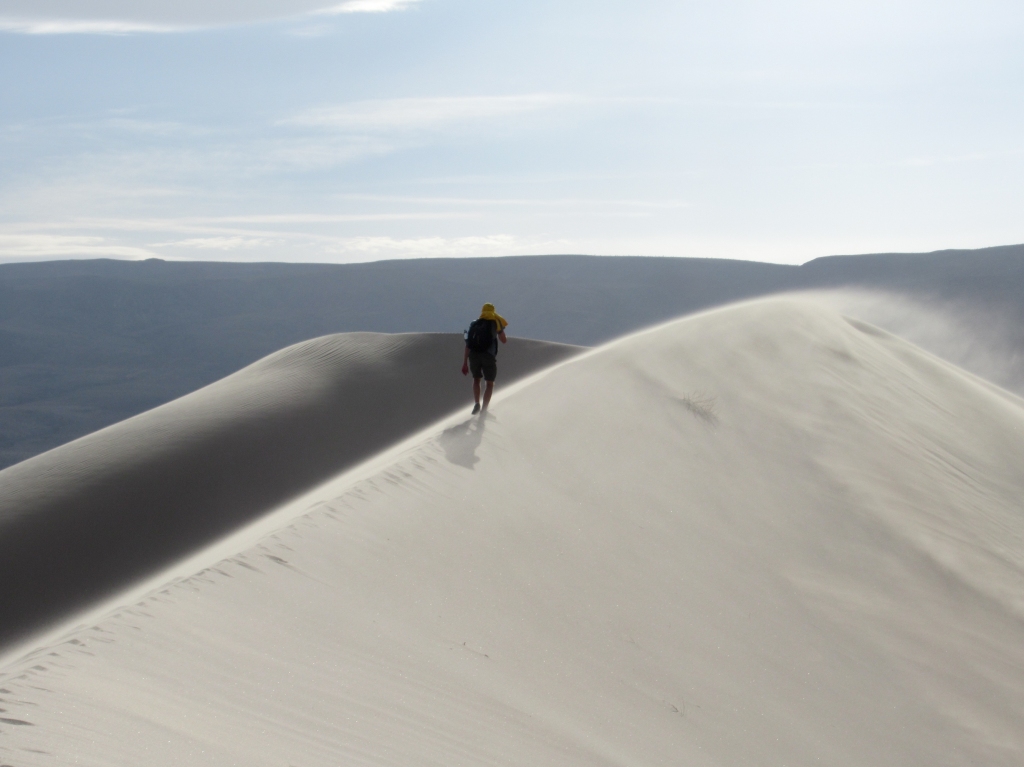
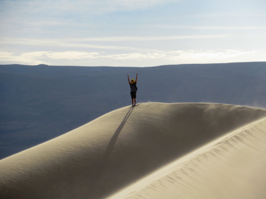
Upon arriving at the dunes, they lived up to everything I had imagined and more. There was not a footprint on the dunes and I instantly picked out the highest point and decided that I had to go up there.
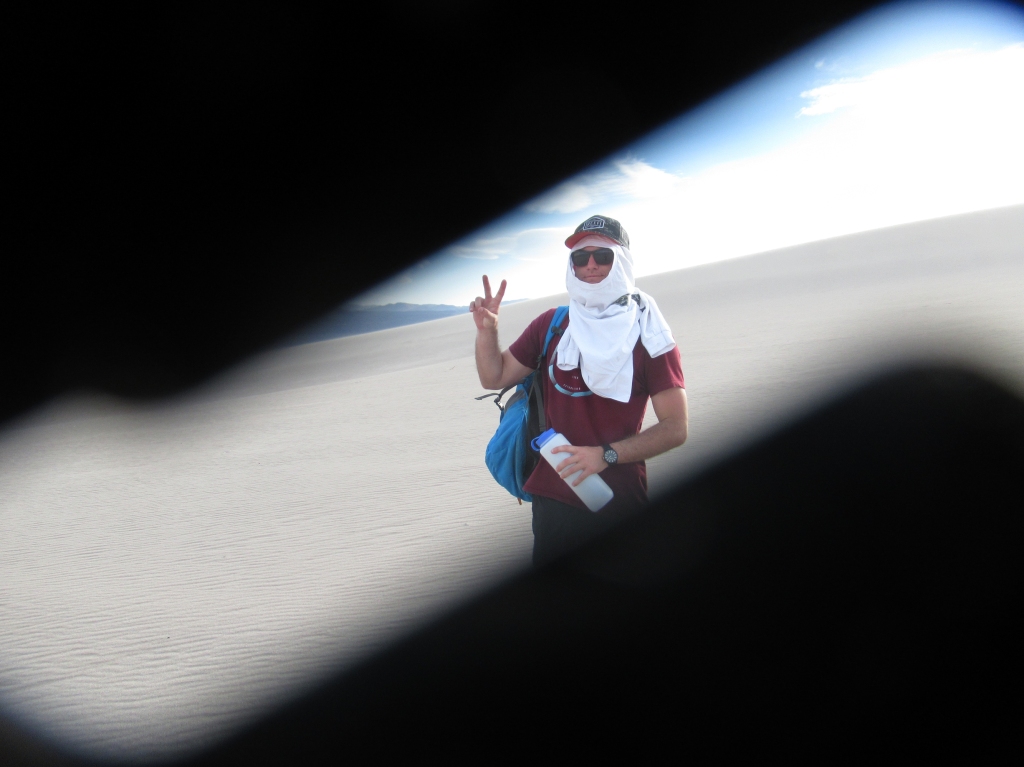
A harsh wind whipped sand across the dunes and into our faces like little flying needles. Our footprints disappeared only moments after creating them, erasing all signs that we had ever been there.
After every orifice in my body (and camera) had been filled with sand, I made it to the top and sat for a few moments to take in the surrounding views and realize what a truly incredible place that Death Valley is.
I think I would go as far to say that it was my favorite part of the park.
We were losing daylight, so we hastily headed back to our parked car miles away down the valley. As the sun disappeared from view behind the barren mountains, the wind suddenly intensified and swung around 180 degrees.
We had wanted to camp in a nice, flat, sandy area that we had spotted on the dirt road to the dunes, but a strong wind would not only make having a fire impossible (and dangerous), but it would put my tent poles to the test, seeing how much tension they can handle before they snap.
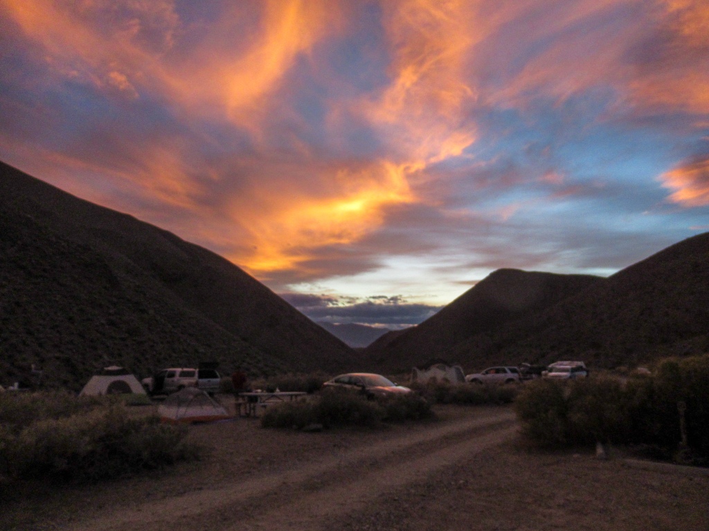
We decided that the best course of action was to head back to the lonely “town, ” or more accurate, campsite, Panamint Springs, which lies nestled up against the mountains and more protected from the wind.
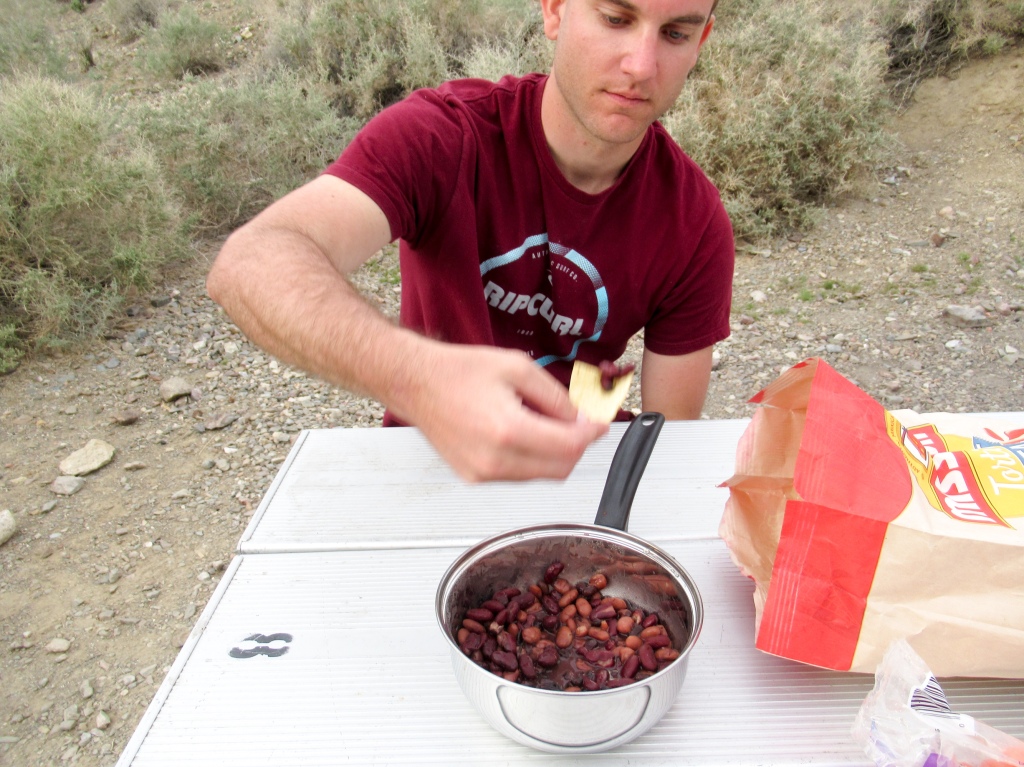
We returned to the gas station, reserved a campsite for twenty bucks, and joined the masses of campers just a stone’s throw across the street. We were both so exhausted from hiking a grand total of 16 miles that we quickly prepared and scarfed down some pasta with marinara sauce and made a campfire, only able to last through the burning of one log before the urge to sleep overcame us.
The video may better-represent the conditions that we were hiking in.
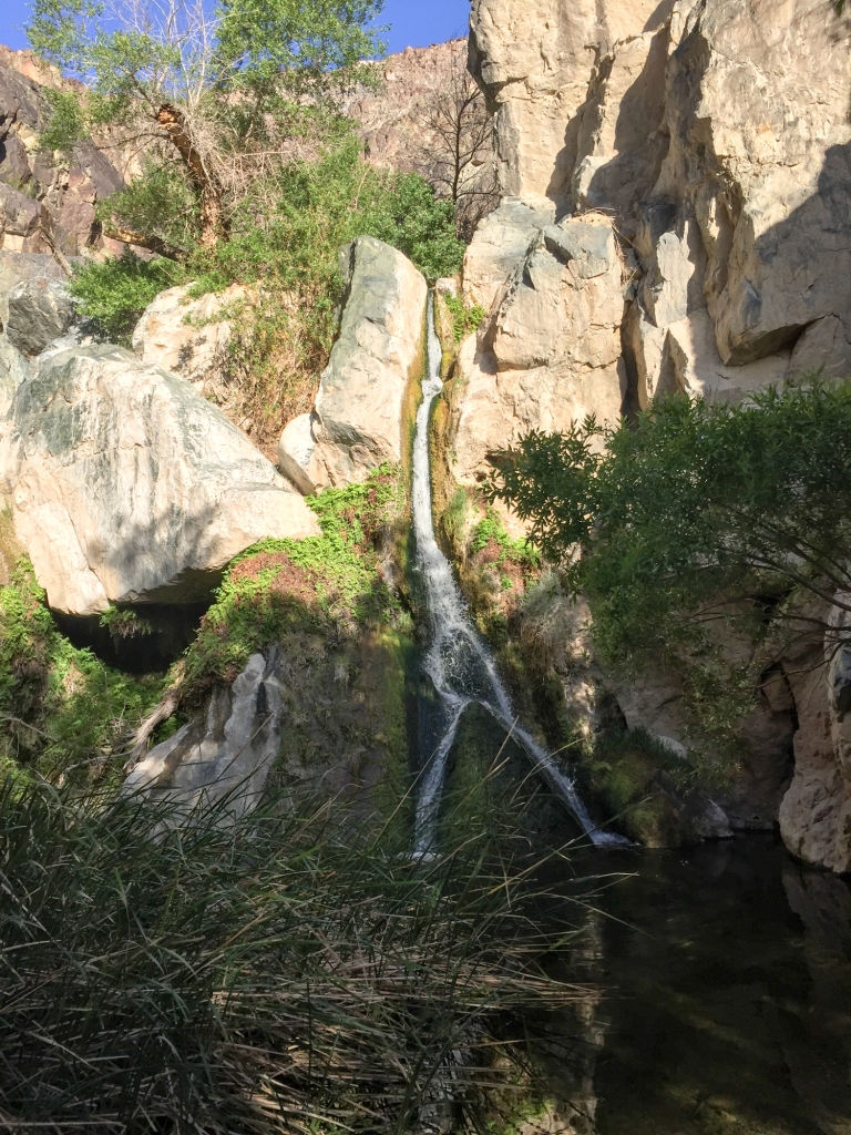
The oasis of Darwin Falls
We rose with the sun on our final day, Sunday morning, and packed up our tent for the last time. We felt no need to linger around Panamint Springs and get better acquainted with the host of RV campers. My imagination raced wondering what the hell the people do that live there. There was a kid about my age working at the gas station. I wanted to offer him a ride to San Diego, a ticket to freedom, but maybe he is content living in the furnace of planet Earth. Who knows.
Before heading back to civilization we made one last pit stop at one of the numerous attractions in the park. Just up one of the canyons from Panamint Springs lies a little oasis called Darwin Falls. A natural spring feeds a river that plunges over a small cliff in the form of a waterfall before the water grinds to a screeching halt in the dry earth just a short distance down the canyon.
As I walked up the canyon I thought about how this little stream must have been a lifesaver for the Native Americans and pioneers crossing this harsh environment before me. There isn’t water around here for tens if not hundreds of miles, and yet hidden up in this little canyon is a year-round water source complete with a cute waterfall and palm trees. You could almost begin to forget that you are in fact in the middle of a desert.
Three days in Death Valley had gone by fast and slow at the same time. Time seemed to speed up as we darted around from corner to corner of the park to our next destination, while it seemed to slow down as the void of cell service kept me off email and Instagram for a full weekend (a beautiful feeling).
My thirst to get outdoors had been quenched. I was satisfied for the time being. However, before I even left for Death Valley I had been thinking about my next trip this summer, knowing that the urge to get outside would build back up and I would soon long to repeat this experience.

Evan: Good writing, good photography! Your report almost (well, not quite almost) makes me want to do some desert hiking this spring. This, I think, is your best piece so far. It provides plenty of valuable information about the place as well as some insight into your own true feelings as you wandered around Death Valley. Keep these pieces coming! -Lee
LikeLiked by 1 person
Thanks, Lee. Glad that you liked it. The desert has so many hiking gems, and there is so much of it here in California!
LikeLike
Wow! Great photos and story…like reading Krakauer.
(Remember Nik’s burn..still makes me sad.)
LikeLike
Great photo story Evan. Loved your down to earth writing! Long time ago I hiked up to mount Whitney and then hitched a ride to Death Valley—did a photo study of the highest and lowest points in Continental US. But your photos of the valley are outstanding!
LikeLike
Thanks!
LikeLike
Not ready for the Krakauer comparisons, but thanks.
LikeLike